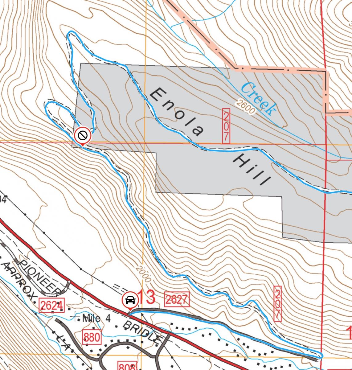
Activation Reports

Submitted by WJ7V on
Summit:

Panther Mountain is a 2 point summit in the Rogue/Siskiyou National Forest, east of Port Orford, OR. The summit is accessed from a short, disused and deteriorating road, followed by a VERY thick bushwhack up a steep slope. This summit could be combined with Father Mountain (which is en route) or Barklow Mountain, or possibly Chismore Butte.

Submitted by NE7ET on
Summit:

This summit was easy to reach and only 1.3 miles or so OW.  There is an antenna farm at the top but it didn't interfere significantly.

Start at the Stevens Creek Trailhead which has a nice parking lot and no permit required.  It is part of a county park a few miles south of Spokane.  The trail is pretty steep and is supposed to be closed when too muddy.

There are many large rocks near the summit which can make setting up an antenna with a clear view a little more challenging.

Submitted by WJ7V on
Summit:

Summit 1510 is a 1-point drive-up approximately 22 miles east of Coos Bay, Oregon. This summit is on State land. Roads are generally well maintained but the last section may be quite muddy/slick with some exposed rock. Marginal cell service was available on AT&T and Verizon.

Directions to the summit:

Submitted by KF7PXT on
Summit:
Submitted by KK7ULL on
Summit:

A Hampton Forest permit is required for this summit, which is near Granite Falls. From the entry gate, we stayed on main logging roads because they were wide and nicely graveled. A number of the roads we mapped on OnX and palanned to use were abandoned or dead ends. After rerouting a few times, we made it all the way to the end of the road and were able to walk just a short distance to the summit. There are lots of downed trees to hike over. Small trees and stumps are available for antennas.

Submitted by KK7ULL on
Summit:

North of Entiat and south of Chelan, you'll find the small town of Winesap along the Columbia River, which is where you'll leave highway 97. Turn west onto Oklahoma Gulch Rd. After about 4 miles, turn left onto S Fork Mud Creek Forest Service 5340 Rd. After about a mile, park at the intersection at 47.78044, -120.26211. There is room to park a couple cars. Follow the motorcycle path (also called Steliko Ridge Road) west for a little over a mile, and then at about 47.76498, -120.26565 head off the road and bushwhack up the hill to the activation zone.

Submitted by NR7Y on
Summit:

Bill's writeup for Cougar might instill fear to those activators who refuse to drive through open gates. Fortunately, there is a gateless route that makes this a pretty easy-to-access peak, and it deserves some more activations.

The gate-free route also applies to nc122 and Cole nc056; all 3 are easily accomplished in a day, and are Prius-able if you are willing to drive about 30 miles of gravel total.

Submitted by WJ7V on
Summit:

Peak 1980 is on Washington State DNR land approximately 1 hour, 15 minutes north of the Portland Metro area and about 6 miles south of Cougar, WA. This land requires a WA Discovery Pass.

The summit is a drive-up, but the last .75 miles is rough and a mid-clearance vehicle with AWD or better is recommended. See SOTL.AS or Sota Maps for the route GPX file. The roads in this area are not well mapped on other services and are being worked on by WA State DNR.

Submitted by K7JRO on
Summit:

NOTE: The historical trailhead north of the fire station on Salmon la Sac road was closed to public access during 2024. This is an alternative route that can be used when USFS roads are still snow bound.

This write up is not intended to be a complete route description for Hex Mountain.  The main purpose is to highlight an alternate way to access the Hex Mountain trail that we believe does not cross private property.

Submitted by WJ7V on
Summit:

After sleuthing some maps in Gaia GPS, a means of access was determined for Green Mountain. It should be noted that most mapping sites do not have good or accurate maps for this area. Prior reports cast some doubt but the route provided is all on public land, Washington DNR to be specific. On my trip, the outer gate was locked but the land is not signed as prohibited for access, so i hoofed it in. If you park at the gate, don't block it and bring your Discover Pass.