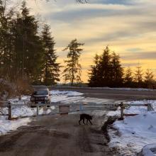
After abortive failures earlier in the day due to lack of access I finally completed an activation on this awesome summit on a beautiful day.
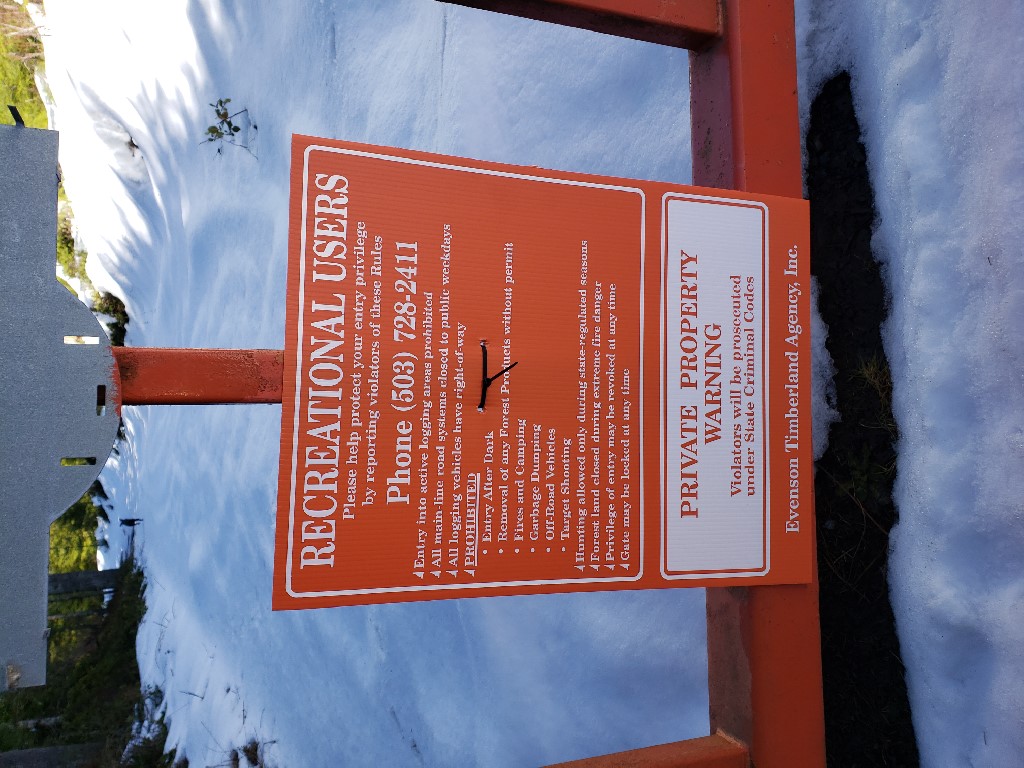
Access to the summit is via gated logging roads with recreation use permitted signs and no motor vehicles allowed.
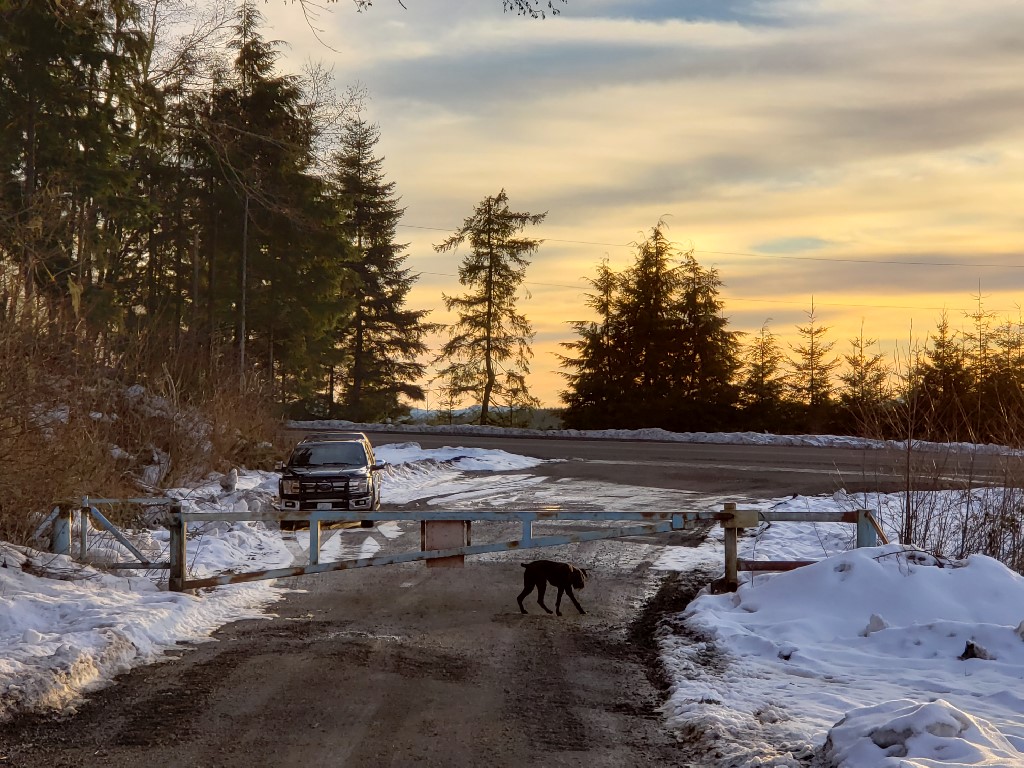
Parking is directly off Highway 47 south of Clatskanie at position: 46.041460, -123.248066
There is ample parking for multiple vehicles as seen below:
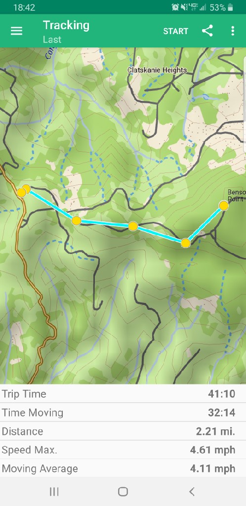
The hike to the summit is 2.2 miles from the parking area and although it has a few ups and downs all are easily walkable and would likely be great on a mountain bike as well.
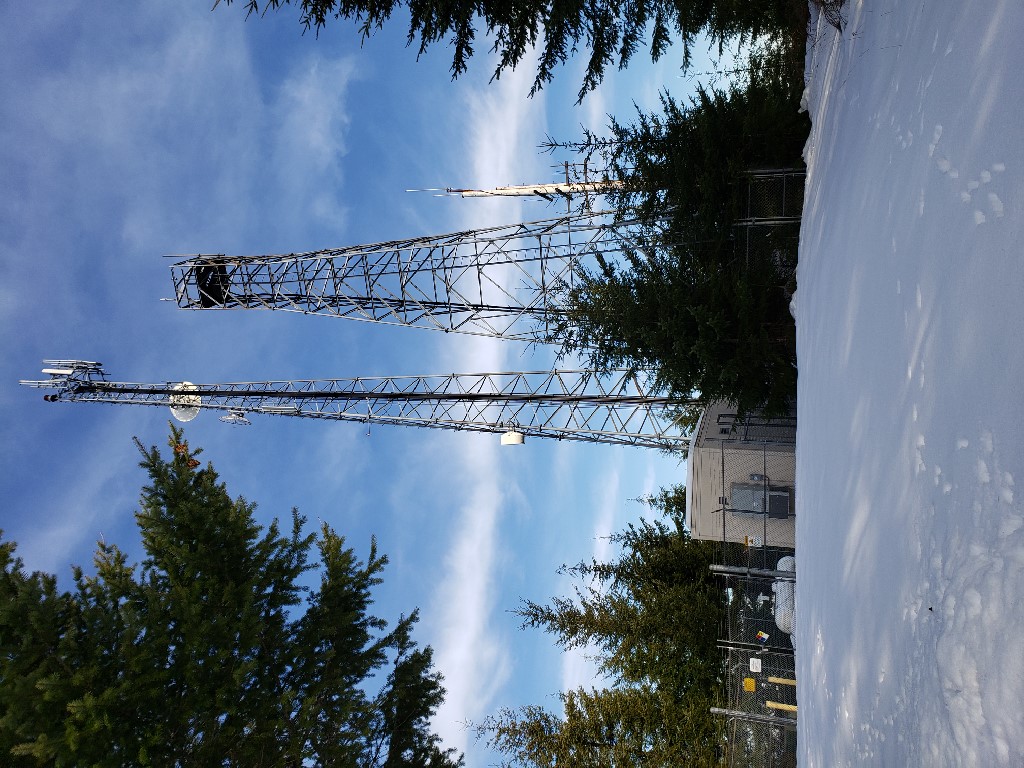
I setup on the road itself as with roughly 2' of hard packed snow I didnt expect any vehicles to come my way on a Sunday Afternoon. The summit has a large antenna tower located on it but I experinced no issues with RFI on either 20 or 40m.
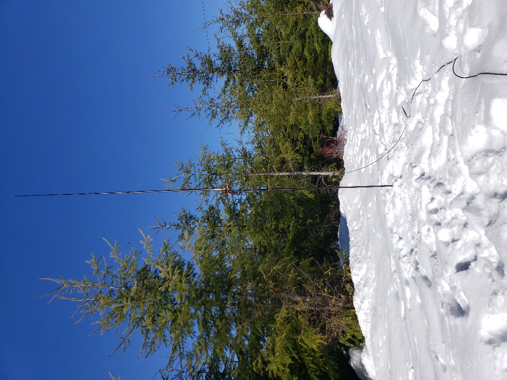
I logged a total of 13 contacts from the summit as seen below:
K8TE - Sandoval County, NM
KC0JFY - Meeker County, MN
VE2JCW - SAINT-JEROME, QC (Canada)
W0MNA - Leavenworth County, KS
W0ERC - Leavenworth County, KS
N1AQ - Franklin County, MA
K6HPX - Pima County, AZ
VA2MO - OTTERBURN PARK, QC (Canada)
AL7JX - Anchor Point, AK
K9IR - Cook County, IL
N6DNM - Contra Costa County, CA
K0TT - Dakota County, MN
KL4JG - Fairbanks, AK


