Ochocco Mountains High Point could be considered a drive-up summit...for some vehicles. Although most of the way is paved, your low clearance passenger vehicle will have problems with the road in places where you can't turn around. A quarter mile of walking to the summit is recommended - it's a neat spot.
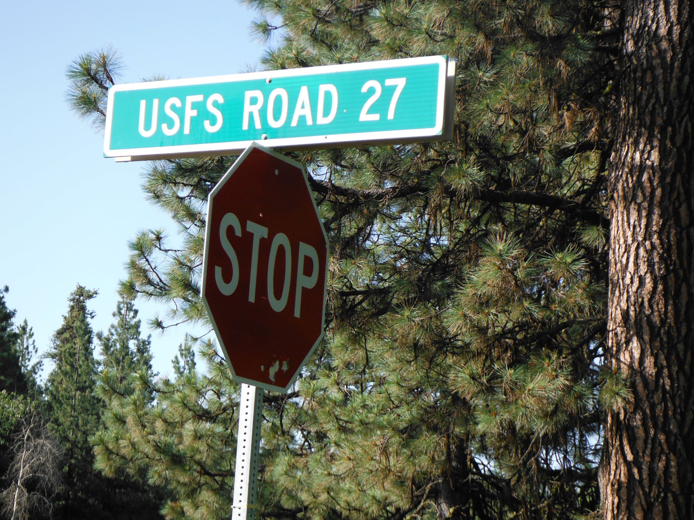
About 30 miles east of Prineville on Highway 26, turn north on Forest Road 27. This may be described as Grant Springs Road, or Summit Road, depending on your resource. This is near milepost 49.
You'll think you are doing pretty well with the first 3.9 miles being a wide, paved road. The next 2.1 miles will make up for it with a narrow track, deep gullies and many rocks.
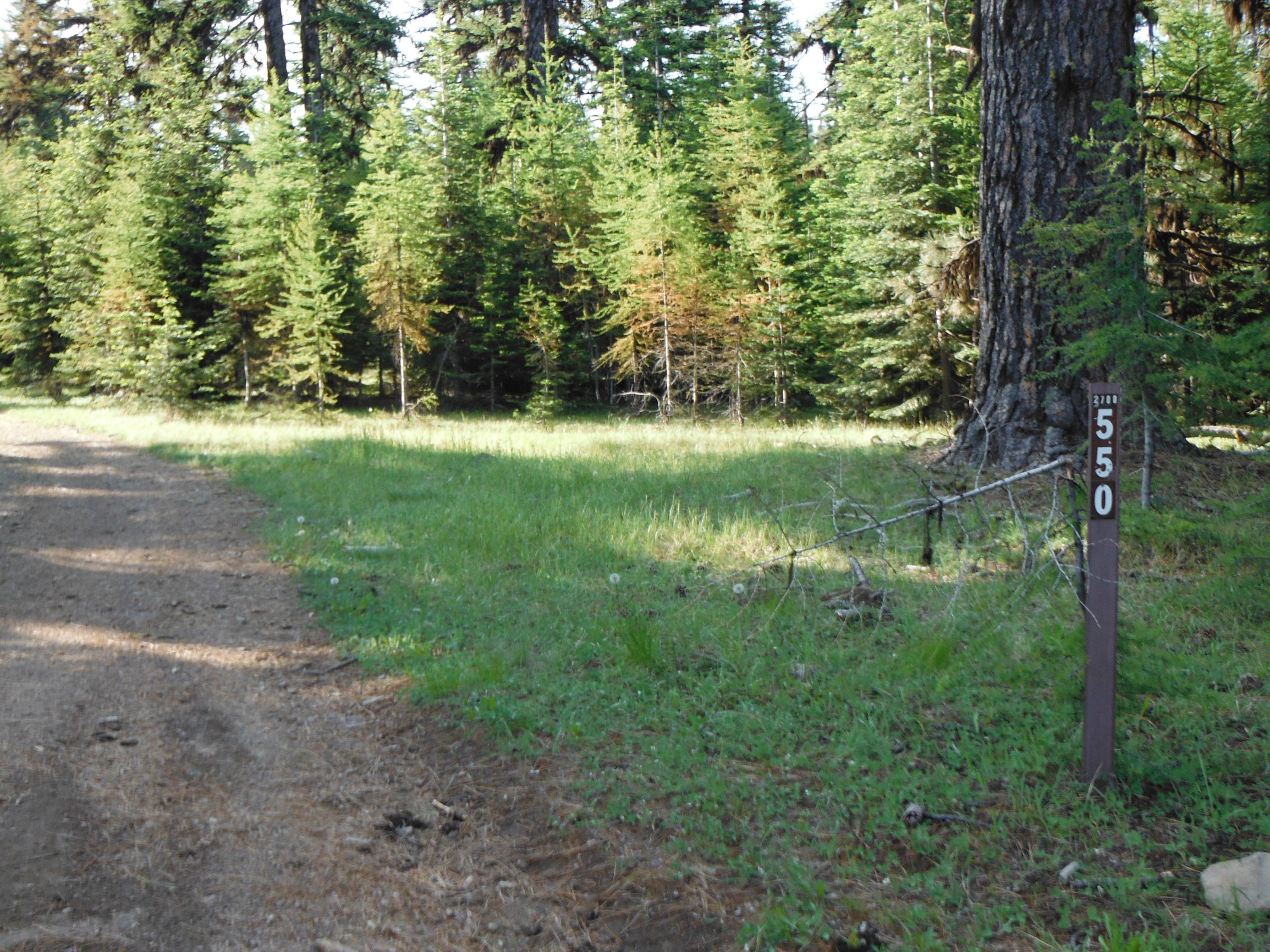
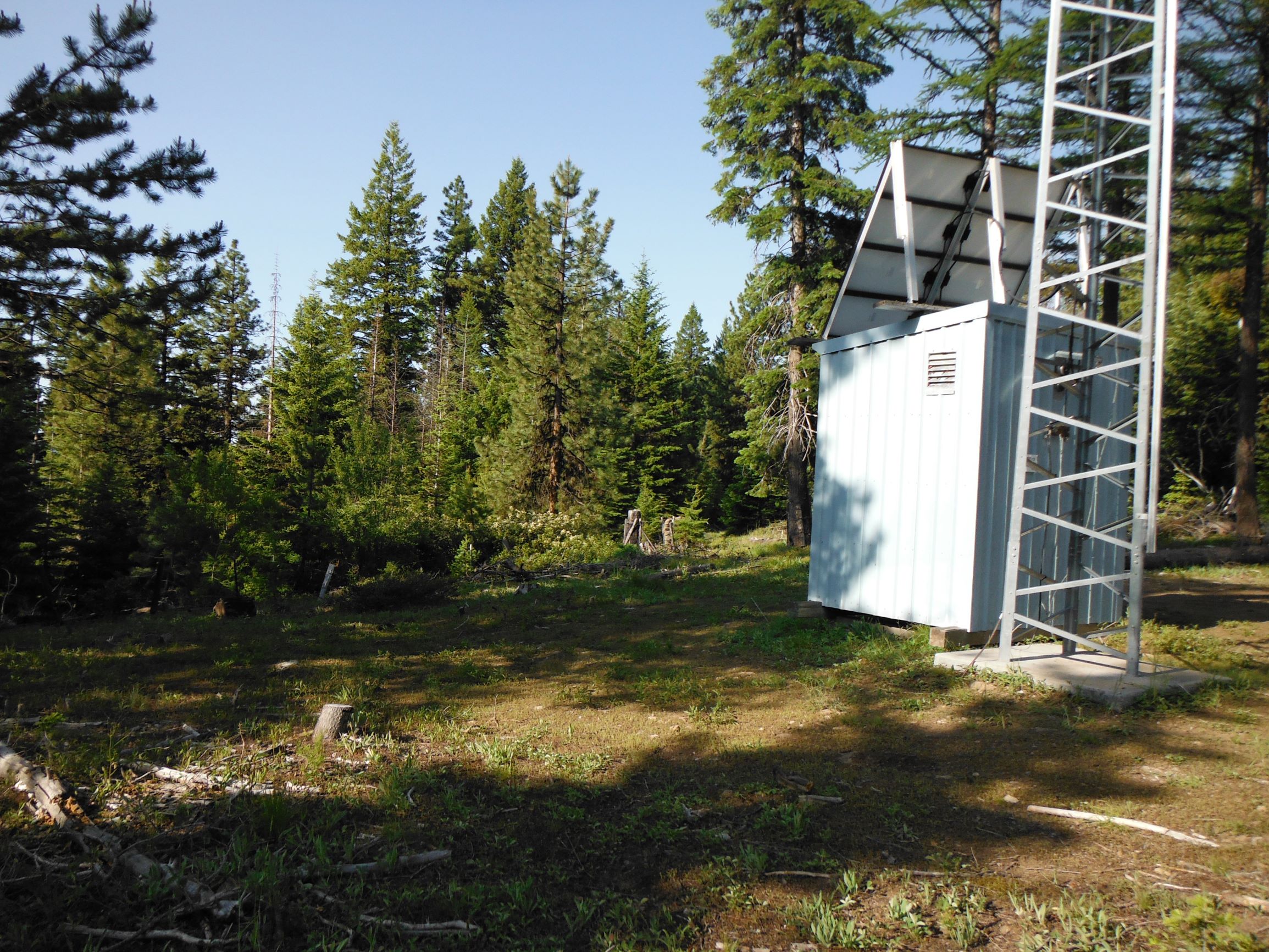
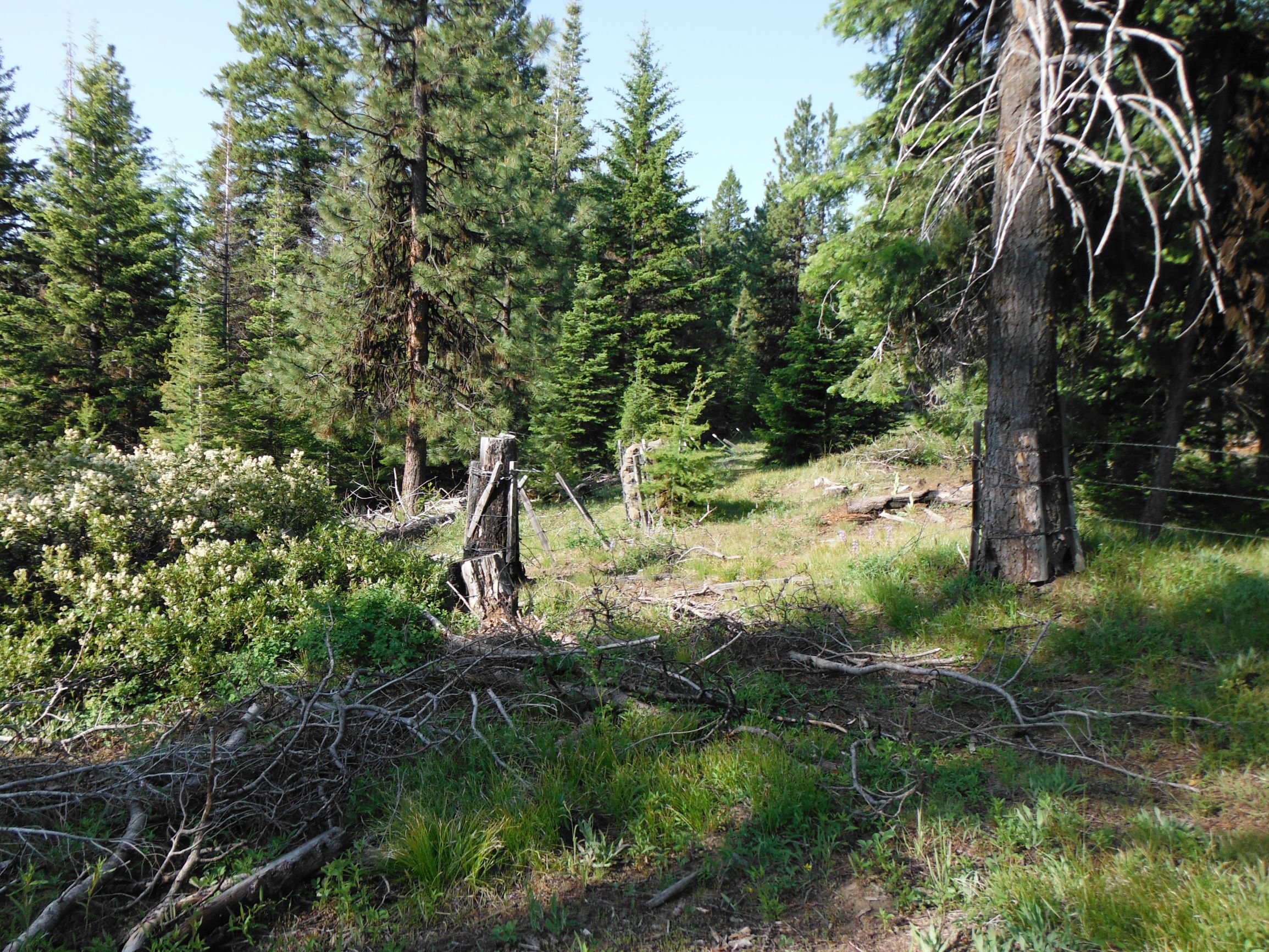
Continue to an even more narrow NF-550 and make your way the last half mile to a blue FAA Navigation Site. Park here and continue on foot a quarter mile to the summit - follow the fence line to the rear of the RF site - you'll see it's cleared the whole way.
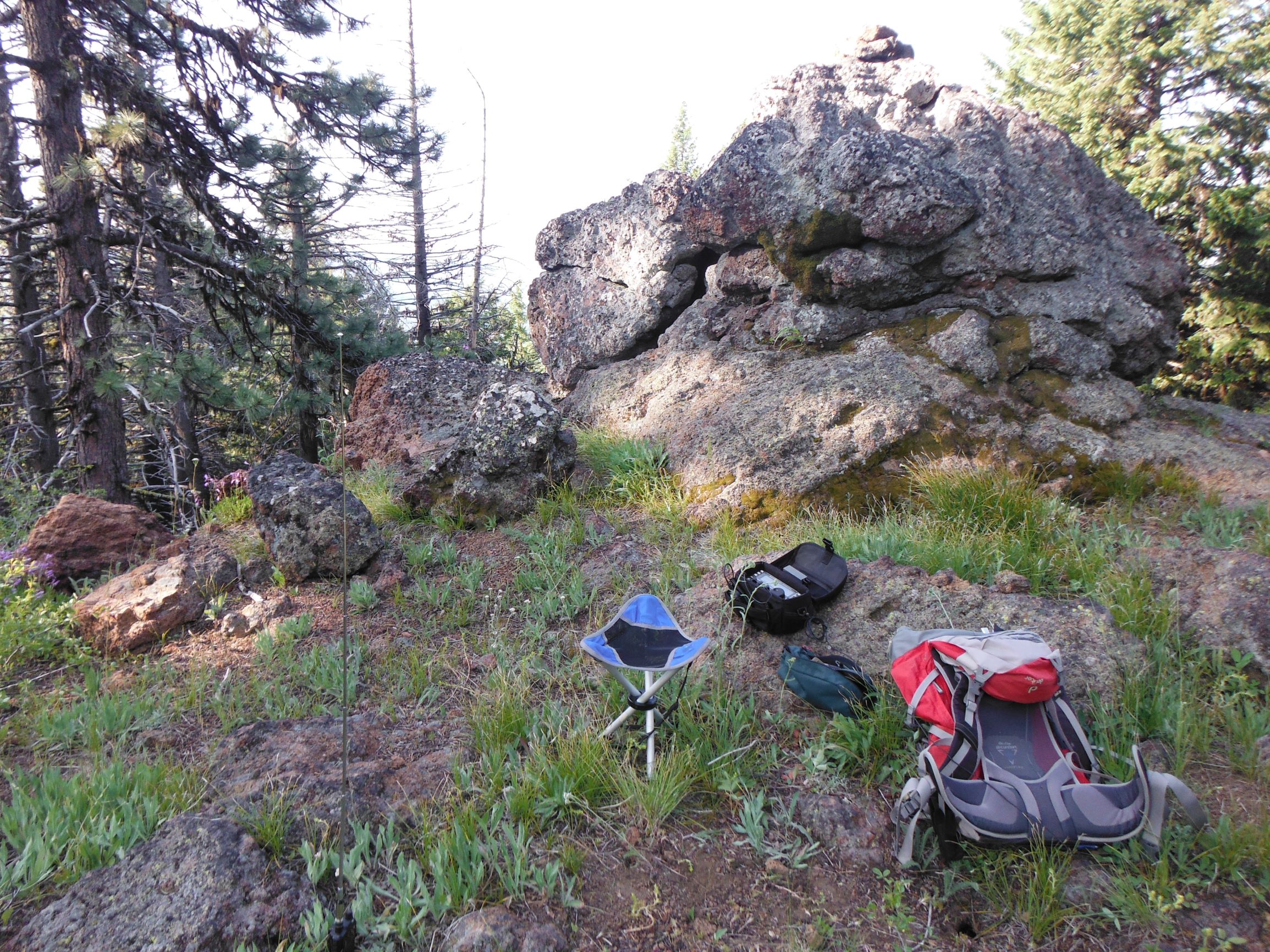
Although the RF Site is in the AZ, the summit proper is well worth the hike. There are plenty of trees to rig antennas and the summit itself is a cool short pinnacle of rock.
A GPS will help you drive to the FAA Navigation Site and then direct you to the summit from there. It may be possible to work folks on 2m FM - try 146.52, .50 and .58 or solicit on a local repeater. There seems to be no coverage by T-Mobile in the Ochoco Mountains but I was able to spot using APRS.