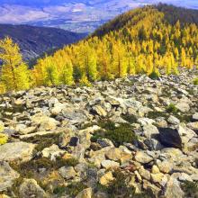
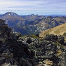
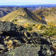
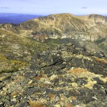
Spectacular peaks of the Selway-Bitterroot Wilderness are in view from this summit. September visits are rewarded with brilliant yellow to orange needled alpine larch, a deciduous high elevation conifer and many times snowfall.
The summit is an open scree with clumps of small <10’ tall whitebark pine. Views are 360 degrees and the large open summit provides a fine area for antennas.
Getting there is straight forward although at the junction of the County road and US Forest Service road there are scattered homes next to the road with access roads. Here it may be easy to take the wrong road for short distance. The Forest Service Road is a switchback to the right.
Elevation gain: 3300’
Trail Miles: 5 round trip
Off Trail Miles: 5 round trip on a semi-apparent user created trail. This trail was burned over in the 2017 Lolo Creek Fire. Expect downed trees to step over or go around.
Water: a permanent stream crosses trail #393 just prior to exiting this trail on the off-trail scramble
Bear Pepper Spray: Highly recommended in all Northern Idaho and Montana summits
Map: Stevensville Ranger District, Bitterroot National Forest
Directions: Travel highway #93 1.3 miles south of Florence, Montana. Turn right, west, on the Sweeney Creek Road. About 1.4 miles the road will make a switch back to the right accessing road #1315. It can be a little confusing here as there are several homes with access roads around this area. Follow this road #1315 approximated 6 miles to the trailhead. This hike is well described in Hoyt’s Bitterroot Mountain Summits guidebook. Just go beyond the apex in the trail #393 at approximately 2.5 miles and continue going down the trail a couple hundred feet. Cross the stream to access the non-system trail taking off to the north. Shortly you will be following the east ridge of Sweeney Peak to the summit.


