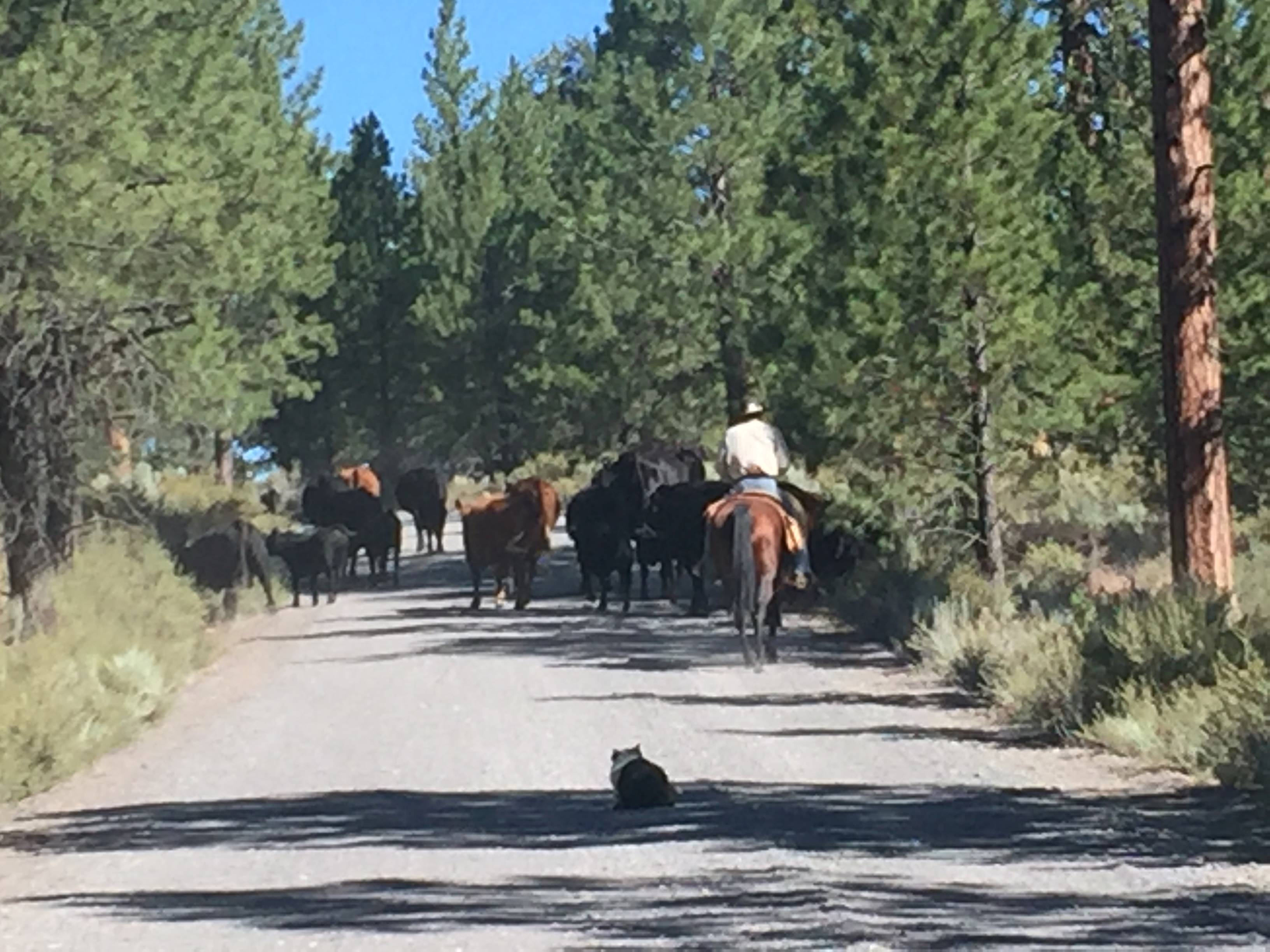
We built extra time into our schedule in case of an unexpected delay, but I never thought that delay would be a cattle drive. In the drive up to the Pine Mountain Observatory, Mark, W6IA, and I waited as two cowboys and at least one dog herded cattle off the road. We hung back just behind the well-trained border collie while he and his team did their work, and eventually it was clear. [See photo below.]
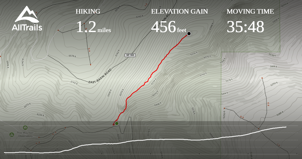
The ridge line hike to the summit from the spot specified in AK5SD's excellent account of his activation, while more intense than I expected, was a nice trip up -- among pine trees part of the time and on exposed foottrails at other times. AllTrails helped keep us on course, and the recording I made on the way up helped us navigate the way back down. [See recording below.]
From the Pine Mountain summit, we could see the Sisters to the west and follow the Cascades all the way north to Mount Adams in Washington state, 169 miles away!
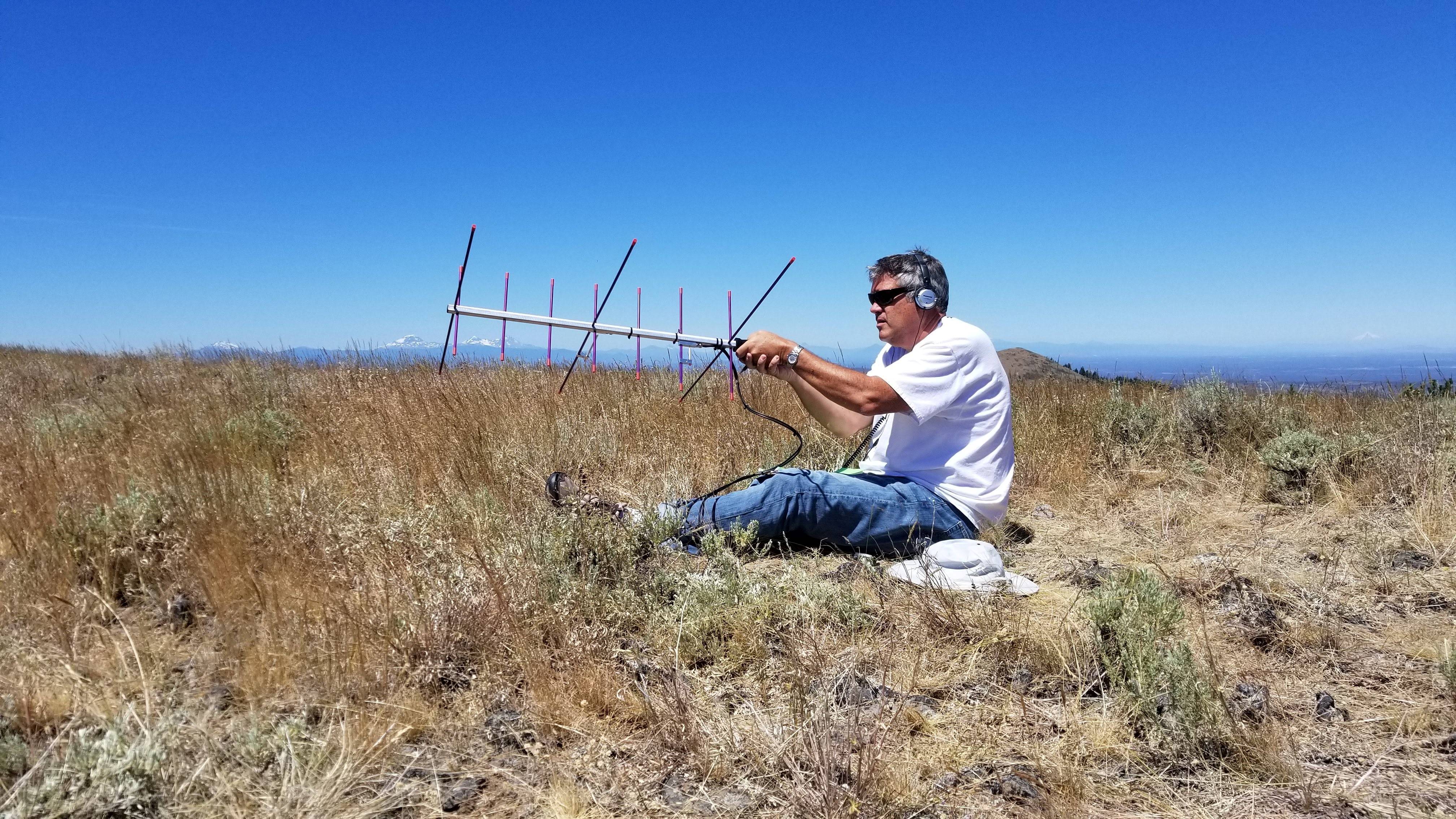
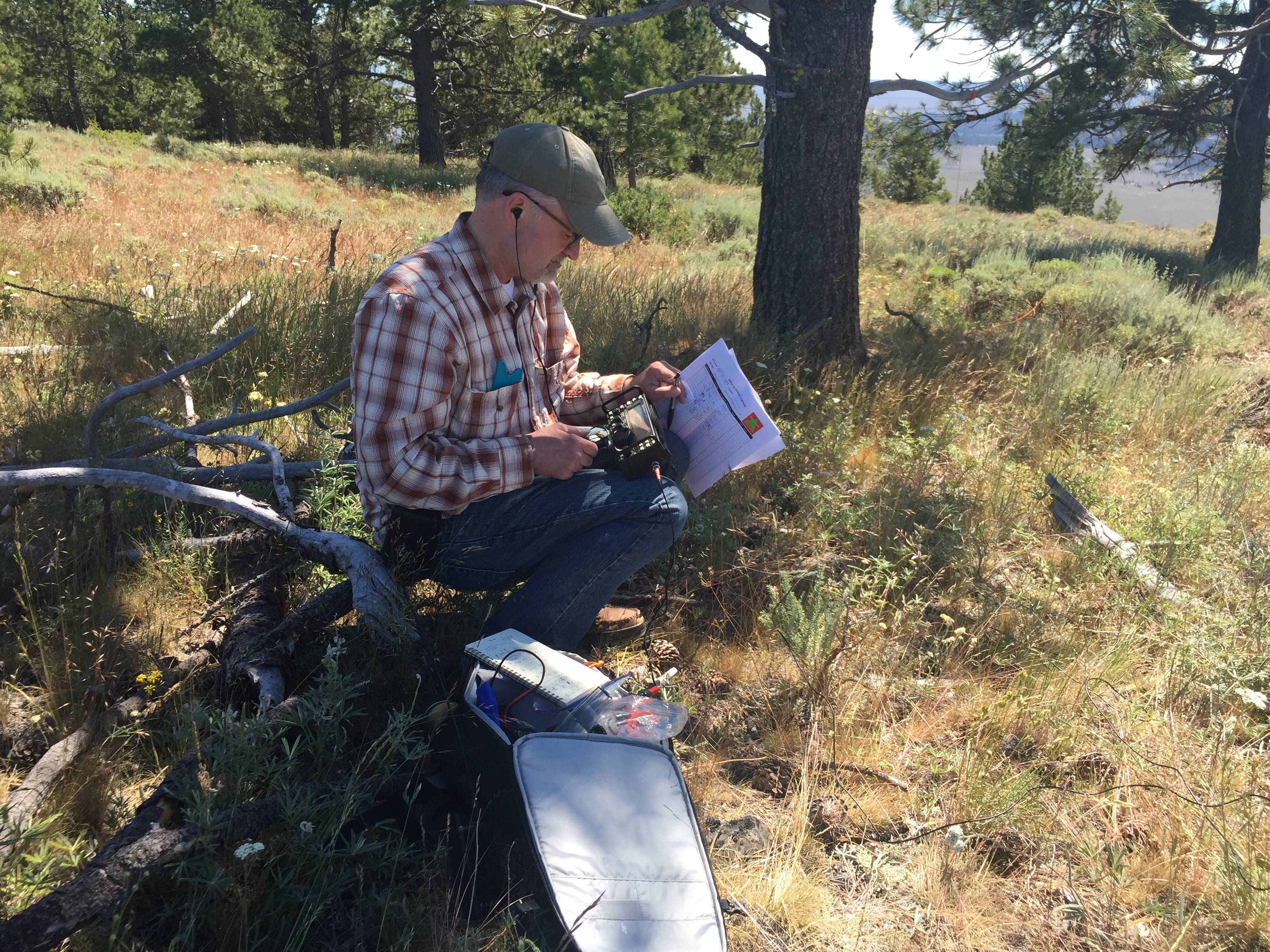
Mark set up his gear to work satellites, netting nine contacts on AO-92 during a 10-minute pass around 11:45 a.m. local time and another 10 contacts on AO-91 about an hour later. We put up my SOTA Beams linked dipole, and I worked stations with CW on 20 meters and later 40 meters while sitting painfully on a dead tree branch that had fallen to the ground, loving every minute of it. Mark grabbed 11 stations on 40m phone, including a summit-to-summit contact with WU7C on W6/CN-005.
In all, it was another great day outdoors, on the air, on a summit with great friends enjoying the world's greatest hobby!