Let's start by making sure we are talking about Oregon's Larch Mountain and not one of the two Larch Mountains in Washington, and not the one in Idaho either. In late winter we hiked from the parking lot of Multnomah Falls to the summit, 14.4 miles roundtrip with 4010 feet of elevation gain according to Portland Hikers - Larch Mountain Hike. Parking at the trailhead on a summer weekend can be difficult after 9am - status of Multnomah Falls can be found here: https://www.fs.usda.gov/recarea/crgnsa/recarea/?recid=30026.
Info on permits for 2022 summer access to the Gorge here: https://www.oregon.gov/odot/waterfall-corridor-permits/pages/default.as…;
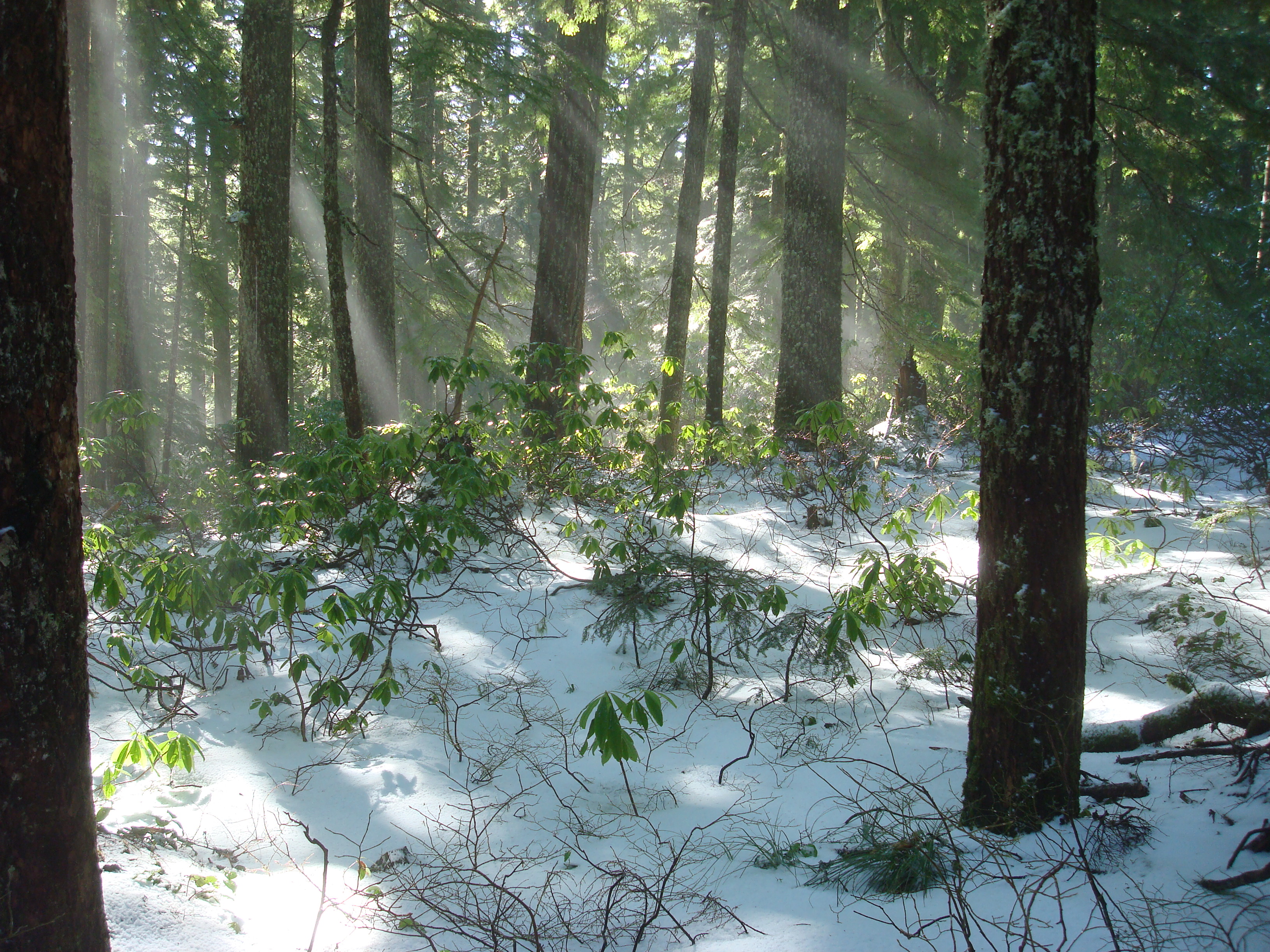
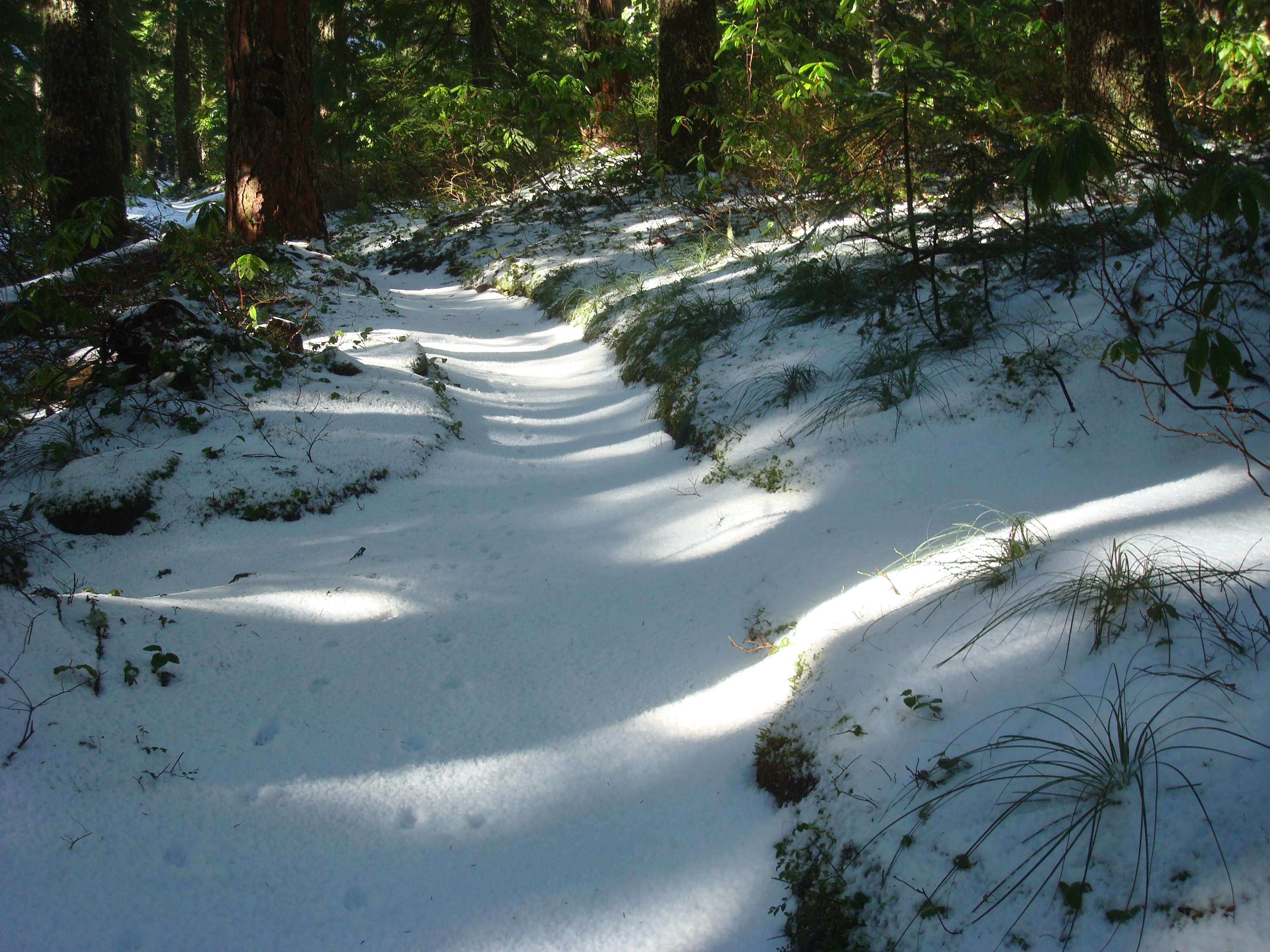
For us, it was a lovely winter morning in the Columbia River Gorge but strangely we got soaked on a sunny day while walking through the trees - the snowmelt from sun on the upper branches was causing a significant 'rainstorm' under the canopy. About the last 1000 feet of vertical was easy walking on consolidated snowpack. At the summit it was nearly shirtsleve weather for a time.
Sherrard Point is the actual summit and you'll most often find it crowded with tourists admiring the views of our local volcanos - an alternative location in the AZ is recommended when it's busy. There's one below to the south of the summit.
Note that you can drive within a quarter mile the summit of Larch Mountain about six months of the year when the snow gate is open. (The parking lot is not in the activation zone.) Multnomah County seems to report on road status here, but make sure you are looking at the correct opening and closing dates for the current year: https://multco.us/roads/larch-mountain-road.
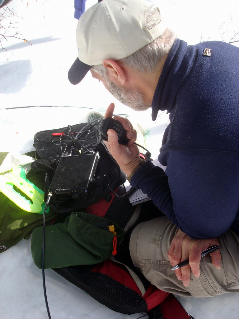
2m FM usually works well here with coverage from Salem to Longview possible.