The day after Christmas seemed like a good day to do some local re-con on a two-pointer I've been
meaning to try out. I left the house about 11:30am headed for Bald Mountain W7O/CC-011 in Polk
county Oregon and packed the backpack with radio and SOTA pole just in case I got lucky.
To get to Bald Mountain, you need to get on OR 223, also known as Kings Valley HWY. OR 223 can be
accessed from US Hwy 20, west of Corvallis, OR or near the junction of OR 22 and OR 99W close to
Dallas, Oregon. The first off-pavement turn from OR 223 is on Valstez Rd about 0.4 miles east of
the Luckiamute Charter School. (marked on maps as Pedee Elementary School)
Valsetz road is also marked as Pedee Creek Rd. Take Valsetz road heading north through a very pretty
valley. Two miles later, turn left on BLM road 9-6-20 just before crossing Pedee creek. This road
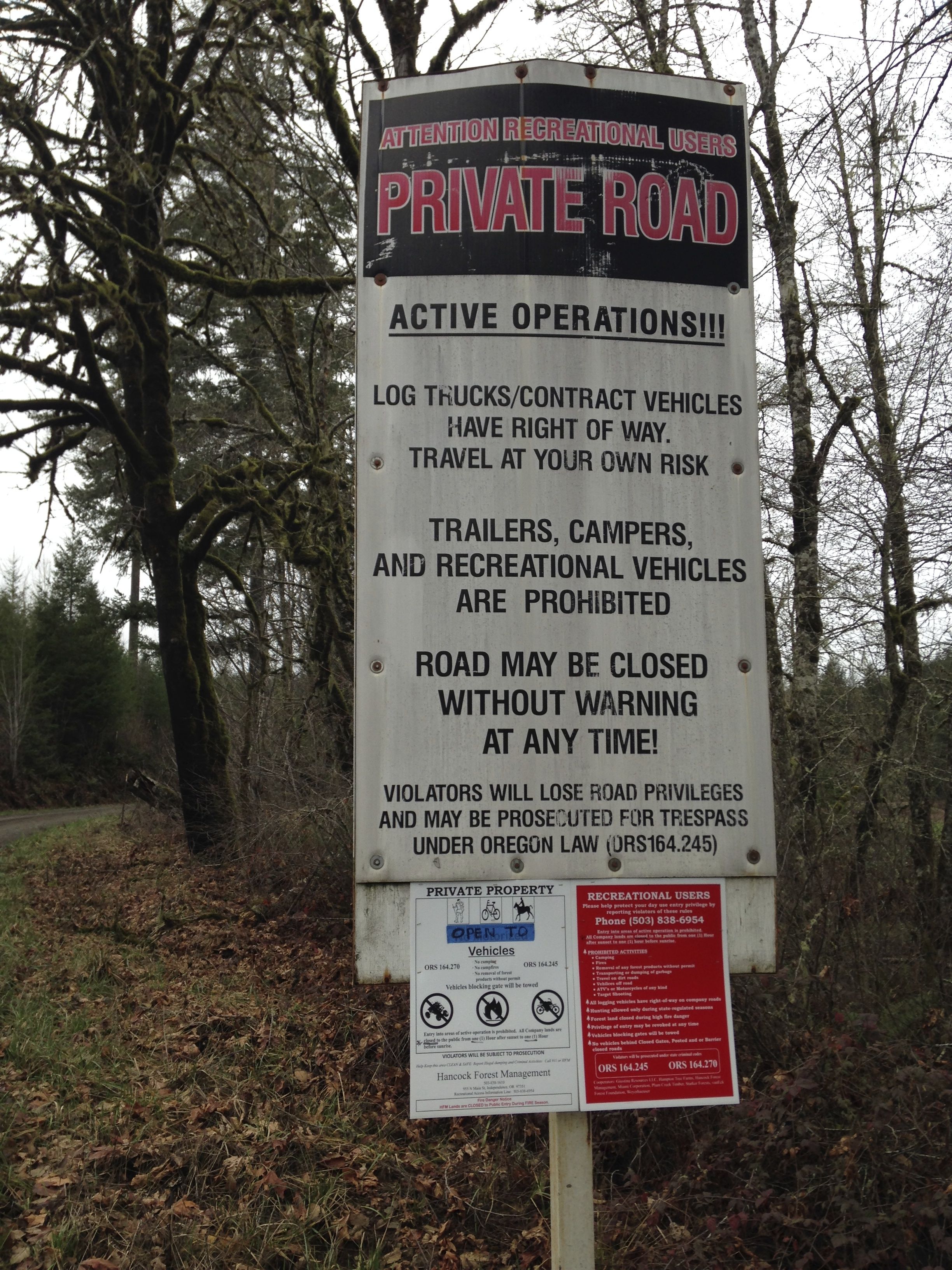
is also known as Bald Mountain Road. You will come to a hopefully open gate 0.8 miles later with a
scary sign that tells you this is a private road and the gate can be locked on you at any time.
Depending upon how lucky you feel, proceed. There is a number to call on the sign for more information
on access. If you are up here on normal work days, understand the the log trucks have the right of
way. High clearance vehicles are best up here but a carefully driven passenger car can make it if the
weather is good.
Proceed up the road alternatively crossing between BLM and private timber land. Staying on the correct
road is not too hard even with the many spur roads. The main road looked very well traveled. 3.7 miles
up the road, there is a road marked 1440 on the left in the crook of a sharp right turn. Turn left here
onto 1440. Proceed up road 1440 about 2.2 miles until you reach a road marked 1446 which most likely
will be gated and closed. Park here well out of the way of the gate if you don't want your rig moved by a
D-4 Cat. ;^)
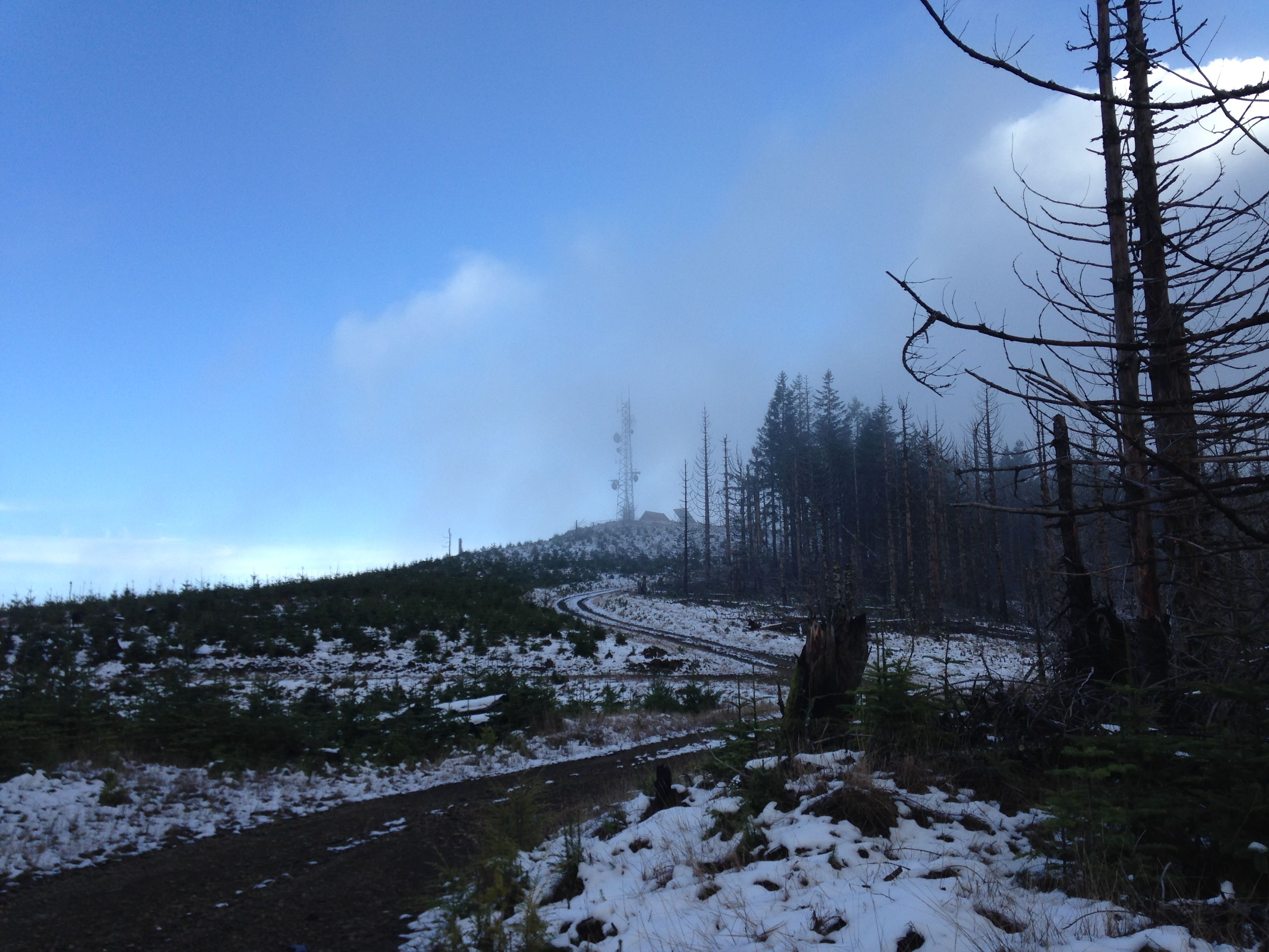
Hike up road 1446 towards the summit. Its about 400 vertical feet to the top and a 20 minute walk. The
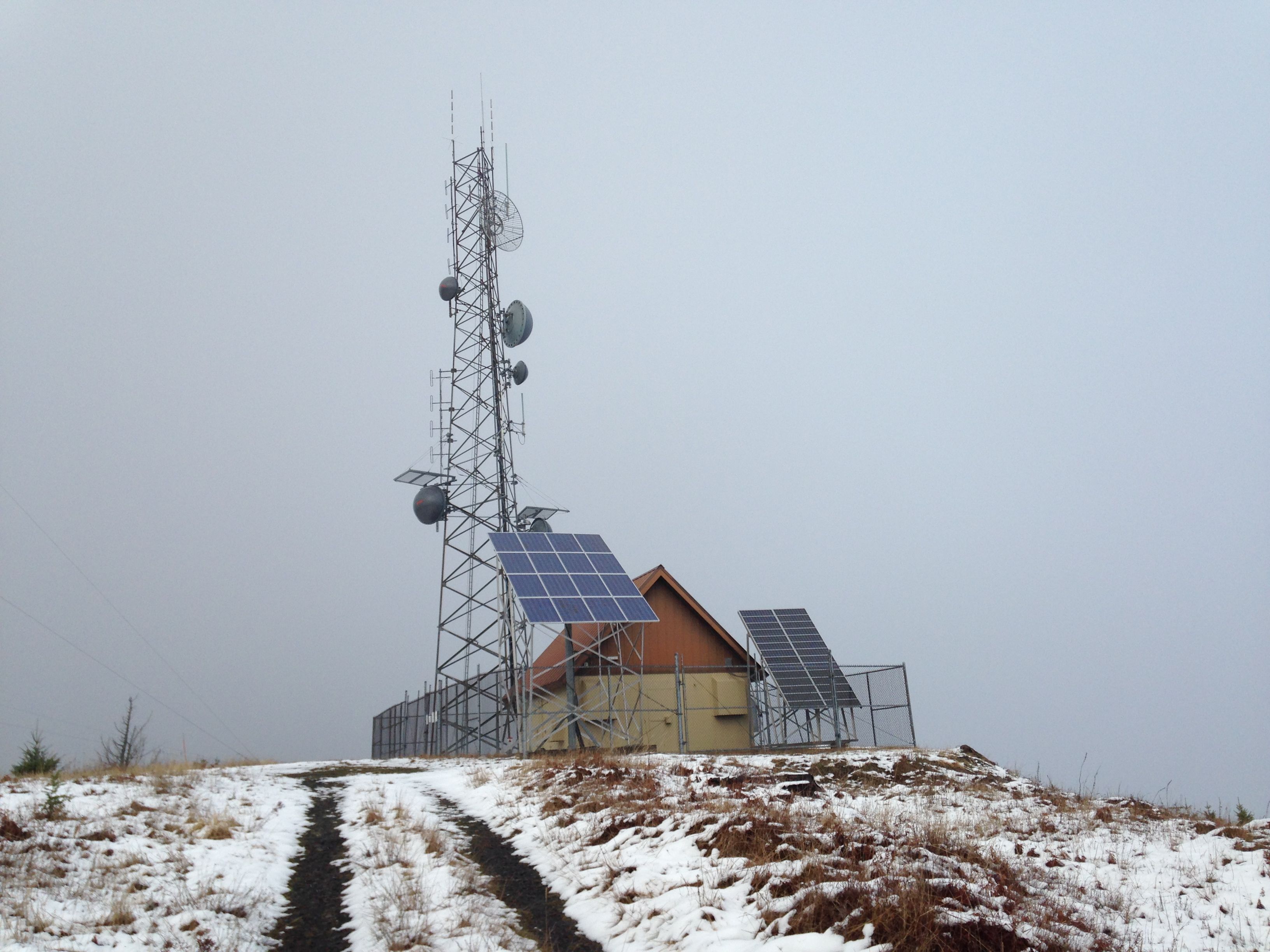
summit is semi-forested with two main buildings with the typical antenna installations. Notable were two
large solar arrays which I suppose power the equipment in the buildings as I had not seen any power
lines for miles.
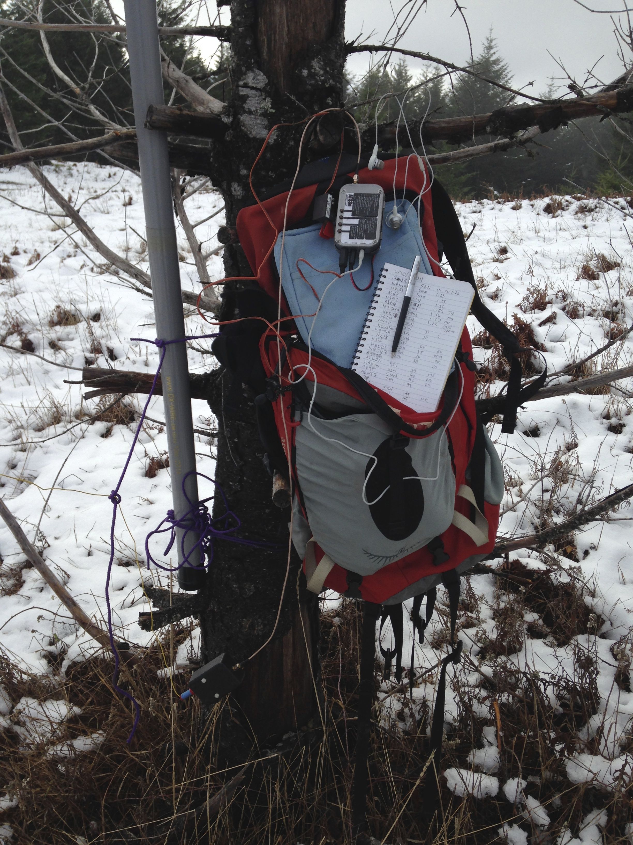
There are good trees for supporting antenna poles and open areas if you wanted to guy a vertical antenna
I choose a standing position this trip as I did not take my Crazy Creek chair to sit in. I hung my pack in a
short fir and hung the rig and everything else on the pack and the tree. It worked out pretty well. Worked
20 stations. Conditions seemed good and the chasers were on me in no time. I had not announced this
activation until 30 minutes before going on the air.
I noticed no interference from the installation except once where I thought I heard what sounded like telemetry
data being sent. I QSY'ed up 1khz and things seemed to improve. Not sure if it was a digital station or the nearby
equipment.
This was a great, short, and fortunately successful activation for such a short notice thanks to the great chasers.
Views were obscured by fog and mist but it was still good to be outdoors and work off the pie and Christmas goodies.