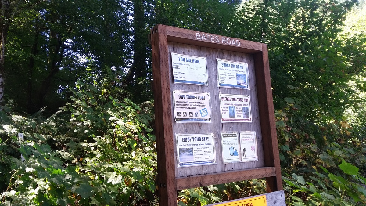
Bates Point (Peak 2360) is a drive-up summit in the Coast Range of Oregon - specifically in the Tillamook State Forest. Roads in the Tillamook Forest are usually good - however the signage and documentation are remarkably poor. What's on the ground doesn't necessarily match your GPS map or what in Google Earth and vice versa. These roads are passable in a passenger car.
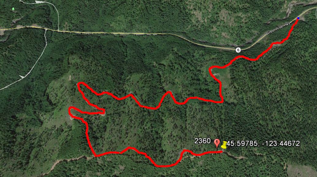
Take the Wilson River Highway 6 west from the exit from Highway 26. You'll go about 21.9 miles and turn left into a very large turnout with a Forest sign for Bates Road. You'll continue up 2 miles to turn left at a T intersection. You'll continue just 0.5 miles farther to park in a wide spot near 45.59785, -123.44672. From here you can climb the short distance to the high point and set up in a tiny open spot at the top of a seldom used motorcycle trail. There is a good amount of OHV traffic on Tillamook State Forest roads so driving carefully (with lights on) and watching out when you might be near OHV trails. There are perhaps too many small trees for some antennas but a short EFHW was not too challenging to set up.