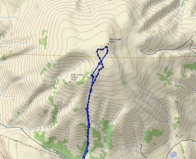
West Butte (W7O/CE-111) is a prominent peak located about 23 miles east of Bend, north of Hwy 20. I completed it’s first activation in September 2020, which is surprising considering the mountain’s close proximity to Bend. While much of the summit is within BLM public lands, access is somewhat limited.
There may be other ways, but I found the mountain can be accessed from Route 25 in the North Millican Off-Highway Vehicle (OHV) Area. Note that there’s a seasonal restriction for this area - only open from May 1st to November 30th. Route 25 is a shared-use dirt road. The road is narrow and rocky in places so a high clearance vehicle is recommended. Just take Route 25 east from the intersection with George Millican Road and follow it out about 3.5 miles to where it ends at a wire fence. A map of the Millican OHV is available here: https://www.flickr.com/photos/blmoregon/30678260446/
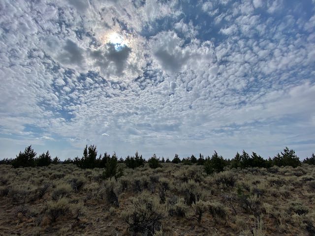
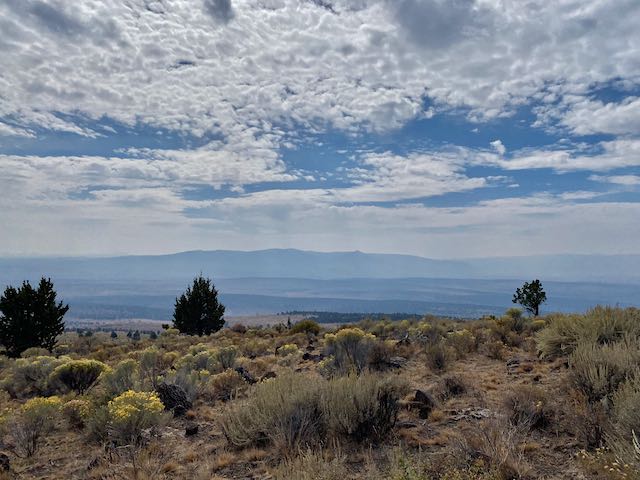
From the end of the road you’re looking at a hike of about 2 miles up to the activation zone with a climb of 1000 feet. While steep in some parts, this is an open juniper grassland that’s fairly easy to traverse. The lower section was completely burned from a recent fire. The upper section was less affected.
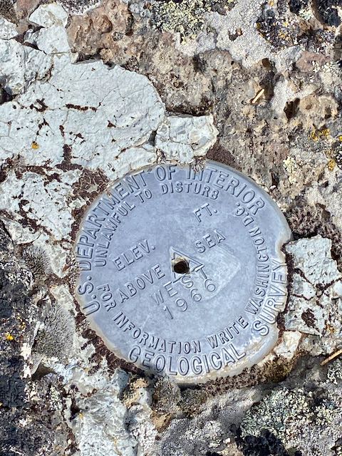
The documented summit elevation (5850’) is hard to locate on the ground as the top of the mountain is a big plateau with large AZ. The USGS benchmark is also unusual as it sits below (5839’) the documented high point.
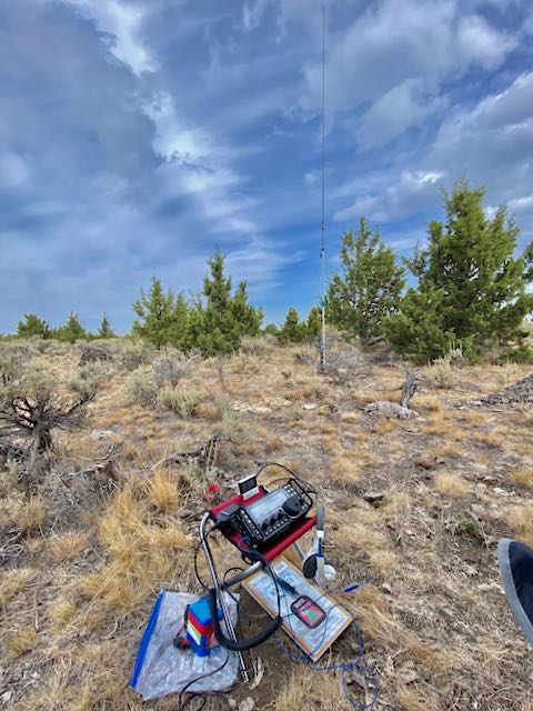
On the summit there’s lots of small juniper trees, but a mast is advised for wire antennas, etc. I had very good Verizon cell/data service and could self spot.