Peak 4980 is an easy activation just south of Mount Hood, Oregon (even if the road is horrid). It has great views (in the right weather) and some wilderness character about it. And there is an old trail that makes access fairly easy.
The Chasers for SOTA have consistently been the heroes of my activations, being there for me in a myriad of ways and ensuring my success.
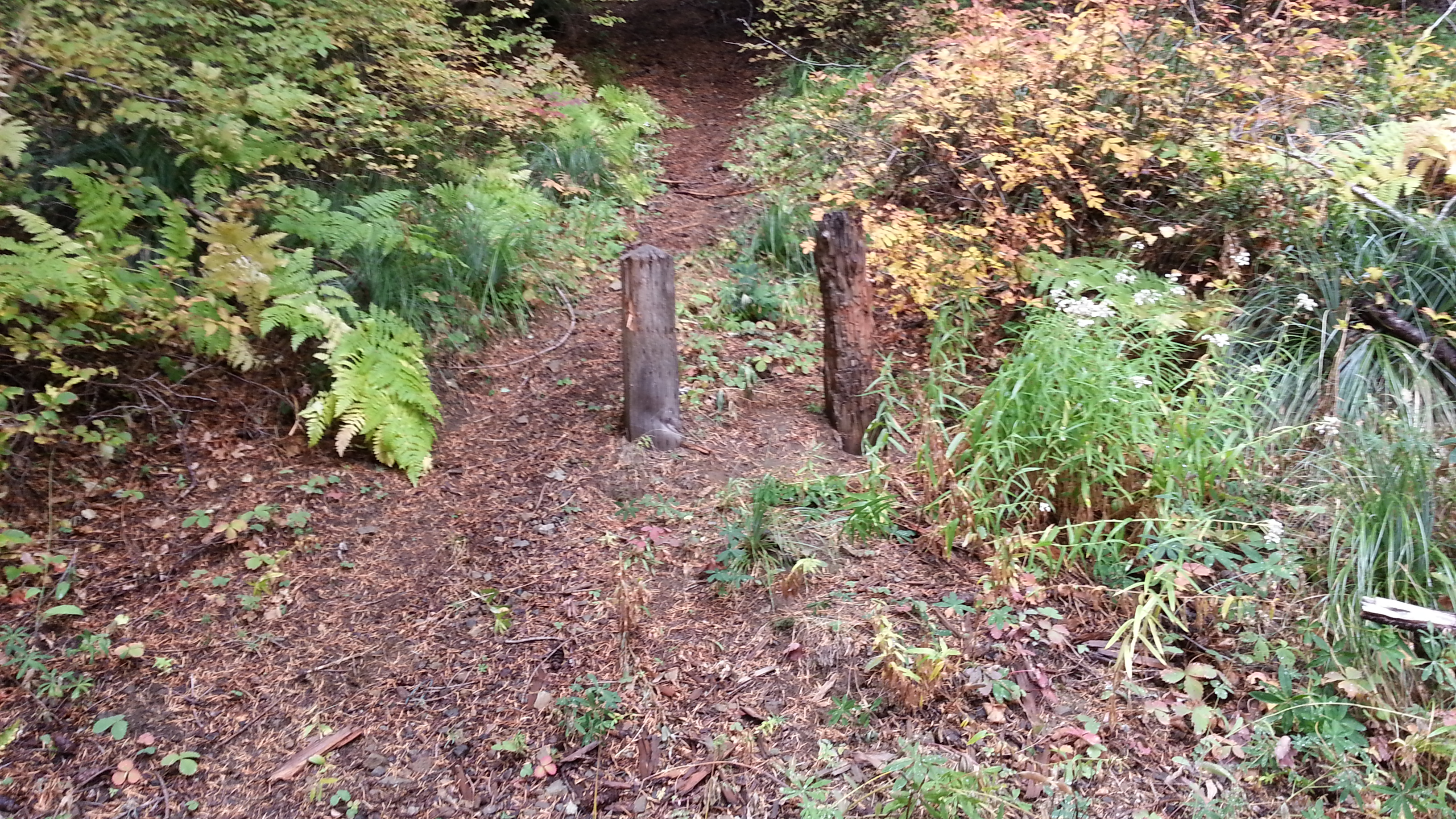
Directions to this trailhead are described well here: Devil's Peak Trailhead. The trailhead may be marked by two posts about 6.9 miles past the four way junction where “Sherar Burn Road” and NF 2613 starts (see photo and the GPS waypoints below). This road might be driven in a passenger car, but a high clearance vehicle would be much more appropriate - it is unmaintained and extremely rough. There might be parking just west of the trailhead or about 0.4 miles east – the road is narrow at this point.
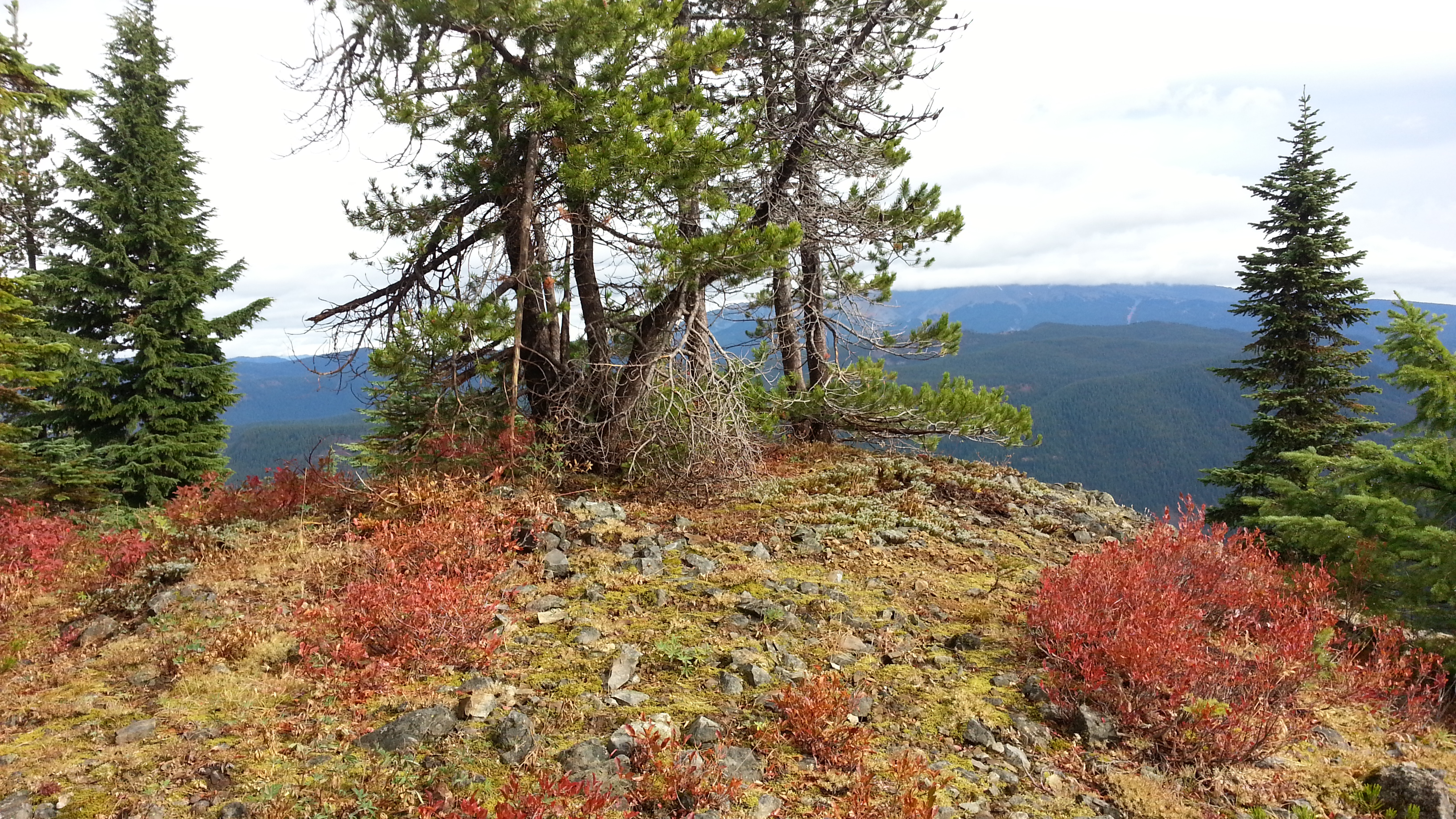
The “trail” appears to be abandoned track – a bit overgrown and steep but passable. The one-way distance is only 0.3 miles with 230 feet of gain. After reaching the ridge, turn left and continue up in the clearings along the ridgetop. The going here is not difficult and in some places it seems like it was once a roadbed. The "summit" makes for a good scenic operating position with lots of room and trees for any antenna setup.
On this activation I was happy to work nine Chasers on 40 meters and I had two summit-to-summit contacts among the 29 QSOs.
GPS Waypoints
Trailhead: 45.247, -121.846
Ridgetop: 45.248, -121.846
Ridgetop Cont.: 45.248, -121.847