Trailhead has limited or no parking

Underwood Mountain OR | Dec 2020

Summit

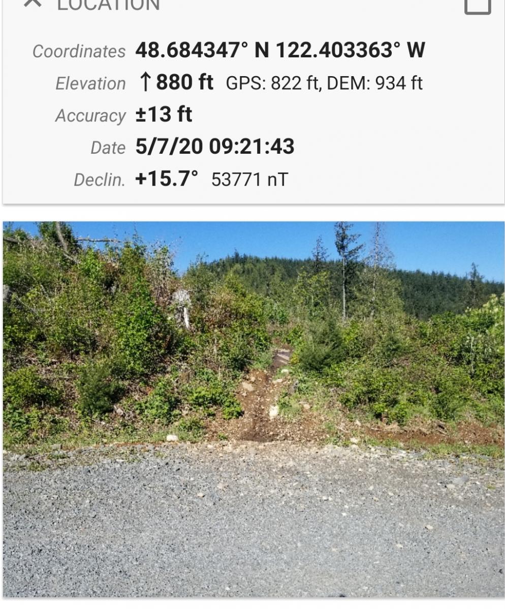
Underwood Mountain is a 2 pt summit Northwest of Underwood, WA across the river Northwest from Hood River Oregon. The start point is about 4.5 miles off of highway 14.  It is an easy 3 mile hike to the summit with 1400 ft elevation gain on forest roads closed to motor vehicles. There is a short 250 foot doable bushwack to the summit. It would be a very feasible mountain bike activation.

Buckskin Mountain, Oregon | Sep 2020

Summit

Turn east off of Fields-Denio Road at 42.1606, -118.6033 onto Whitehorse Ranch Lane.

Turn north off of Whitehorse Ranch lane onto an unmarked road at 42.2577, -118.3200

Turn left at an obscure point at 42.2819, -118.3588

Make a hairpin right turn at 42.2622, -118.3870

Park near a locked gate at 42.2619, -118.3895

Henry Peak, Montana July 26, 2020

Summit

Henry Peak is a two point summit overlooking Plains, Montana. It is due north of the intersection of highways 200 and 135. Please refer to the linked map below as I describe getting there. All forest Service roads in this description are good to fair and a four wheel drive is not necessarily needed but advised due to some bumpy and rocky spots.

Peak 6540, Montana July 11, 2020

Summit
Keywords

This was a failed attempt of activating this summit.

Driving the route to the "trailhead" involves a 21 mile stretch of Forest Service roads that takes you within a thousand feet of the summit. Take Forest Service road 412 that starts at Montana highway 135, just south of Quinns Hot Springs. 412 intersects with Forest Service road 97 that takes you to the summit. See link below for the map of this route. These are well maintained roads but Four Wheel Drive is highly recommended. Some rocky spots and deep potholes from the rain. Allow 90 minutes to drive this.

Bushwhacking Stams Mtn, OR | June 2020

Summit

I have to say, this was a fun hike, it's really my style.  It is truly a bushwhack hike, there is no trail, and you will not be afforded a road or any kind of guide.  A GPS waypoint of the peak is absolutely necessary, and even that won't help you at points from getting into trouble with really dense, thick undergrowth.  Be prepared to climb over and through stands of pine trees, manzanita, and deadfall.  This area is littered with old logging roads, which have given rise to dense thick stands of 1" pine trees 6 inches apart.  The path you will likely take crosses t

Table Mountain, OR | May 2020

Summit

Table Mountain is an easy, near drive to, summit with one of the best views in my opinion. You are looking down at Howard Prairie and Hyatt lake, with a fabulous view Mt. Mclaughlin on your left and Mt. Shasta on your right. Since this is near my home area it is a great place for us to look at all the summits we have done and want to do. See what still has snow, what is open.

Magnetic Hill near Bellingham WA

Summit

This is an easy hike half on a good road and half by trail.  The area is also used by mountain bikes.  There is limited parking at the gate at location 48.688594 N, 122.403296 W, although few use this trail system.   Follow the well maintained road .6 miles until the place on the right side of the road where the trail begins.  See Picture.:

Drake Peak, OR | Sep 2013

Summit

Follow the directions to the Drake Peak Lookout that is located on Light Peak W7O/CE-004. Head up on foot the 1/3 mile towards Light Peak and watch for the faint road heading east just below the summit.  This is a cross-country route of about 3 miles RT. A GPS may be very useful to find the peak. Although it may look shorter to veer off the road on the return trip to slightly shorten the trip, I'd suggest staying with the road. The rocky peak has a few small trees for supporting poles and antennas.